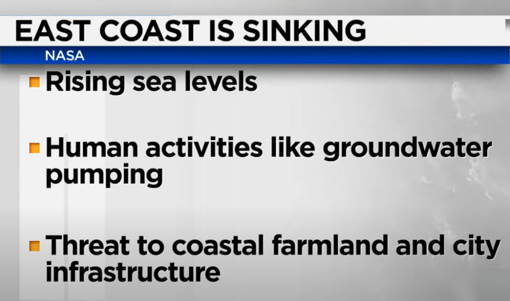
Startling revelations from NASA indicate that major cities along the U.S. East Coast, including New York City, Baltimore, and Norfolk, Virginia, are experiencing a concerning trend of land sinking. New images derived from satellite data and ground-based GPS centers have brought attention to the issue, highlighting the need for further investigation and potential interventions.
NASA’s comprehensive survey covered areas from New England to Florida, utilizing satellite data and ground-based GPS centers to map land motion. The results, spanning the period from 2007 to 2020, indicate that some of the most densely populated cities along the East Coast are situated on land that has experienced sinking.
The data reveals that the land in major cities, such as New York City, Baltimore, and Norfolk, Virginia, has sunk by an average of one to two millimeters per year during the surveyed timeframe. However, in specific counties in Delaware, Maryland, Georgia, and South Carolina, the land has experienced sinking at a rate double or even triple the average, raising concerns about the long-term implications for these regions.
While the exact causes of land sinking are complex and multifaceted, scientists suggest several contributing factors. Subsidence, the gradual sinking of the Earth’s surface, is often linked to human activities such as groundwater extraction, urbanization, and changes in land use. These factors can lead to the compaction of underlying sediments, resulting in land subsidence.
The revelation of sinking land carries significant implications for coastal cities already grappling with the challenges of rising sea levels. The combination of land sinking and sea-level rise exacerbates the risks associated with flooding, storm surges, and other climate-related events. It underscores the need for adaptive measures to mitigate the impact on infrastructure, communities, and the environment.
NASA’s findings emphasize the importance of ongoing research and monitoring to understand the underlying causes of land sinking and its potential consequences. Collaborative efforts between government agencies, scientists, and local authorities are crucial to developing strategies for resilient urban planning and infrastructure development in vulnerable coastal areas.
As climate change continues to influence sea levels and weather patterns, addressing the challenges faced by sinking cities becomes integral to ensuring the long-term resilience of coastal communities. The insights gained from NASA’s survey serve as a wake-up call, prompting a reevaluation of urban development practices and the implementation of sustainable measures to safeguard against the impacts of land subsidence.


